The Long Mynd from the Burway / Long Synalds: Ordance Survey Landranger sheet 137: Grid Ref SO445944
It is August and the ridges and slopes of the Long mynd are brilliant with the purple of heather. All about these hills, the palette is sheep-nibbled green and purple; two-tone and other-wordly. Within this, the evidence of pre-roman britain catches the eye at every glance from the edge-defying precipice of Caer Caradoc, the path of the ancient portway and the arena-like wonder of Bodbury ring [OS Grid ref SO445947].

The Burway carves through the Long mynd by the pinnacle known as Devils mouth and the Cross dykes.
The Cross-dyke intersects the (also) ancient Burway; the earth banks of the Cross-dyke are considered to be the markation of some ancient field boundary. The etymology of the name Burway can only be attributed to burgh; the ancient word for fort/fortified place (Mills 1998). The Burway is a bronze-age trading route from Shrewsbury to the Ports of South Wales. The Devils mouth: Scour any map and, within the orange contour markings there is always some geological feature that has been ascribed to the workings of the devil; christian-era hyseria and their re-namings of natural features that were no doubt important or sacred (sic) to our ancient peoples.

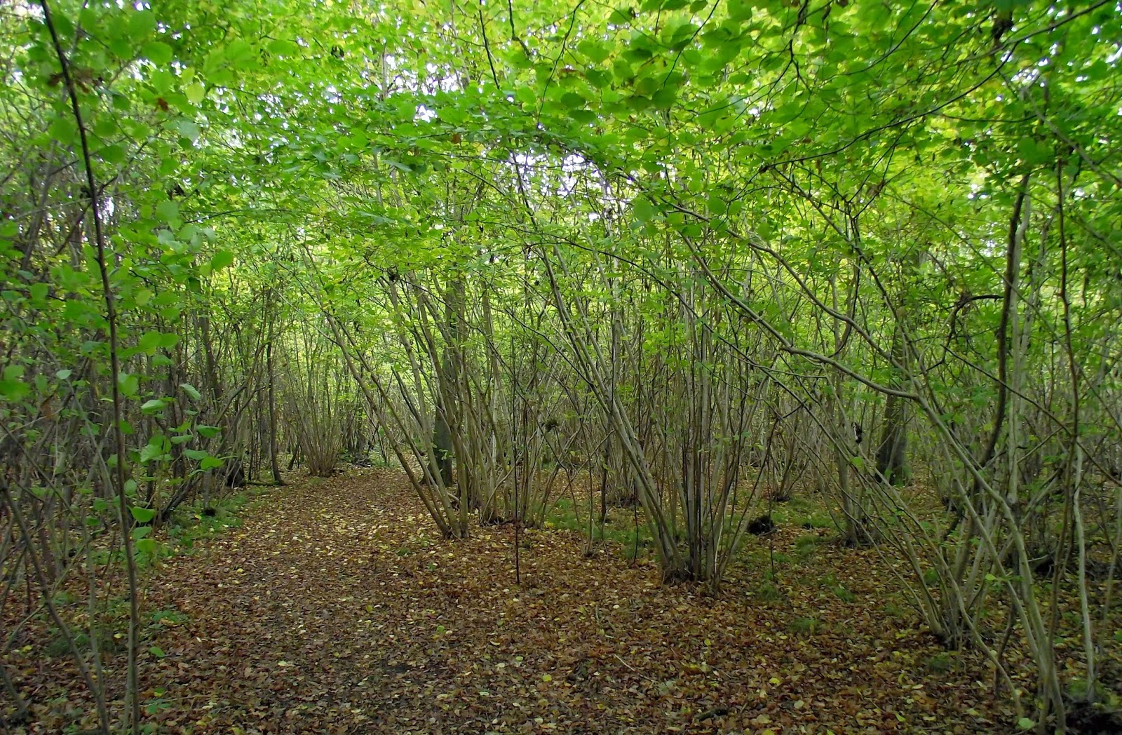
By the Boiling well & Cow Ridge.
The sole agricultural useage of the Long Mynd is sheep livestock. The land now largely owned by the National Trust has 88 people with grazing rights for sheep. The area is synonomous with sheep-sounding place names like Cardington; though the name is more likely ascribed to the Caerda as in (Caer Cadorac). The Romans never settled up on the hills; merely passed through, creating the road on the valley-floor below (Watling Street); after which Church Stretton is named from.

The corbels of St Lawrence church (Church Stretton) illustrate that cheeky age in the medieval; on the North/West side is a much older sheela-na-gig.
The landscape upon and around the Long Mynd elicits transitions from pre-historic landscapes of the ancients and, wears the evidence of the Iron-age in its enclosure-sites and field systems. We can see how the romans passed through with their road to Bristol & South Wales and ancient drove-paths to steer livestock to markets. The Anglo-Saxon period is (notoriously) difficult to determine in all but post-holes from timbers; unless there is royal jewels to be gleaned but, they are there in place-name settlement and through into the medieval and beyond. The land however, has been utilised in much the same manner for aeons.